

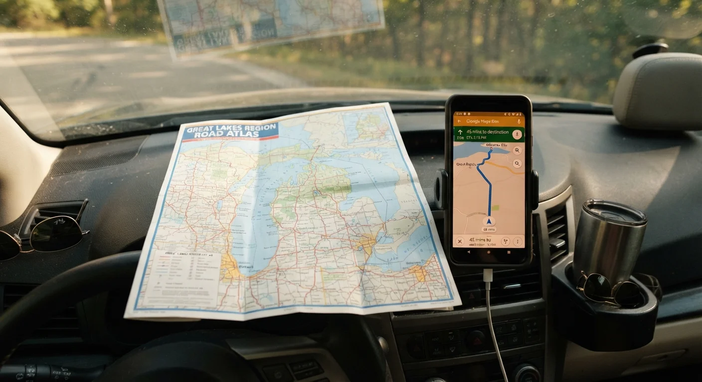
Key Takeaways
- GPS apps give real-time traffic and rerouting but require a cell signal to work reliably.
- Offline maps let you navigate without cell service but must be downloaded before you leave.
- Paper maps never lose signal or battery, and they give useful big-picture context for route planning.
- The most reliable approach on a long road trip is to carry more than one navigation method.
- Rural and mountainous routes are the most likely places to lose connectivity, so prepare accordingly.
Our Verdict
No single navigation method covers every scenario a road trip throws at you. GPS apps handle everyday driving well, offline maps fill in when signal drops, and paper maps provide a reliable backup and planning tool that requires no power. Combining at least two methods gives you real redundancy.
| Best for | Recommended |
|---|---|
| Driving mostly on interstates and well-trafficked urban routes | GPS apps |
| Traveling through rural areas, national parks, or remote regions | Offline maps |
| Cross-country trips and situations where tech failure is a real risk | Paper maps as a backup alongside a digital option |
What each navigation method actually does
GPS apps, offline maps, and paper maps each solve the same core problem differently: getting from one place to another without getting lost. Understanding the mechanics of each helps you choose the right tool for the conditions you expect.
GPS apps (such as those built into your phone's operating system or standalone navigation apps) pull live data over a cell connection. They calculate your position using satellite signals, then use cell data to deliver turn-by-turn directions, live traffic, and automatic rerouting. If the road ahead is congested or closed, a GPS app can react in real time.
Offline maps use the same GPS satellite positioning but work from map data you download to your device before you leave home. Most major navigation apps let you download specific regions or states. Once downloaded, those maps function without any cell signal, though they cannot show live traffic or suggest reroutes based on current conditions.
Paper maps are printed regional or state maps available at rest stops, visitor centers, and gas stations across the country. They require no battery, no signal, and no account. They do not update automatically, so recent road changes may not appear, and they cannot tell you your current position without your own spatial awareness.
Where each method works well and where it falls short
| GPS apps | Offline maps | Paper maps | |
|---|---|---|---|
| Cell signal required | Yes, for full function | No, once downloaded | No |
| Real-time traffic | Yes | No | No |
| Automatic rerouting | Yes | No | No |
| Works without battery | No | No | Yes |
| Preparation needed | Minimal | Download before leaving | Purchase or collect in advance |
| Best for remote areas | Poor without signal | Good | Good |
| Turn-by-turn guidance | Yes | Yes | No |
| Big-picture route planning | Limited | Moderate | Excellent |
A few situations are worth calling out specifically. Cell coverage in the American West, rural Appalachia, and areas within national parks is often patchy or entirely absent, sometimes for stretches of 50 miles or more. In those conditions, a GPS app that depends on data can go silent or freeze on an outdated screen. An offline map downloaded ahead of time handles that gap. However, if you forget to download the region before leaving a city with service, you cannot download it in the field.
Paper maps work anywhere. They are also useful when you want to trace your full route visually, understand how roads connect across multiple states, or orient yourself after a confusing detour. The limitation is precision: a paper map cannot tell you which exit to take in a tangle of urban interchange ramps, and reading one while driving is unsafe.
How to prepare before you leave
Preparation is where most navigation problems are solved. A few steps before you hit the road reduce the chance of being stranded without directions.
- Identify the states and regions you will pass through and download offline map data for each area, not just your destination. Download in advance over Wi-Fi, since these files are often several gigabytes.
- Pick up a paper state map or a regional road atlas that covers your entire route. Many state welcome centers on major interstates distribute free state maps.
- Charge your devices fully and carry a car charger or portable battery pack. Navigation drains phone batteries quickly, especially with the screen on continuously.
- Note the general route in a simple written form: which highways, which major junctions, approximate mileages between cities. This takes five minutes and gives you a fallback if every screen goes dark.
Download maps before you lose signal
Offline map files for a single state can range from 500 MB to several gigabytes. Download them at home or at a hotel with a reliable Wi-Fi connection before you enter a low-coverage area. Check that the download completed fully, since a partial file may not load correctly when you need it.
If you are driving into a national park or wilderness area, check whether the park has its own downloadable maps or GPS tracks. Many parks with limited connectivity publish detailed maps through official channels or third-party outdoor apps.
Deciding which combination fits your trip
For most road trips that stay on interstate highways through populated areas, a GPS app alone is adequate. The risk of losing signal for a long stretch is low, and the convenience of live traffic is real. Problems arise when drivers treat this as a universal truth and head into remote terrain without a backup.
A practical rule: if any portion of your route passes through areas with known spotty coverage, download the offline maps for those regions and keep a paper map in the car. The cost is minimal and the weight is negligible. You are not choosing between methods so much as layering them by situation.
Travelers who drive frequently through mountain passes, remote deserts, or areas far from major highways should treat offline maps as the primary tool and GPS apps as a supplement when signal is available. Paper maps remain useful in that context for planning stops and understanding the landscape at a glance.
Navigation conditions, road closures, and coverage areas change over time. Always verify your route with current official sources before departing, particularly for remote or seasonal roads.